
Japan Offshore Wind
Supply Chain Map
Japan's offshore wind base ports, plants and O&M ports, mapped against the zones they serve. Click a port or plant to see which zones plan to use it for construction or maintenance, with a source for each.
Zone list: METI, as of January 5, 2026 / Zone status: checked October 2, 2026 / Supply chain: checked 2026-11-03
Click a port, plant or O&M icon to open its details and related zones on the right (below on phones). Click a zone circle for the zone summary.
Vessels and local suppliers
Installation vessels move between sites, so they are listed here instead of on the map. For local suppliers, see the maps published by the regional METI bureaus.
| Type | Name | Status | Source | Last checked |
|---|---|---|---|---|
| SEP vessel | CP-8001 (Penta-Ocean Construction) 800 t crane, 30 m water depth (50 m with long legs), 10 MW class, home port Kitakyushu | Operating (2018-12-10) | Penta-Ocean news (8 Jan 2019) | 2026-11-03 |
| SEP vessel | Hakkaku (Obayashi and Toa Corporation) 1,250 t class, fixed-bottom turbines up to 9.5 MW | Operating (2023-04) | Obayashi news release (12 May 2023) | 2026-11-03 |
| SEP vessel | CP-16001 (PKY Marine (Penta-Ocean, Kajima, Yorigami)) 1,600 t crane, 15 MW class. Working on the Kitakyushu Hibikinada wind farm from Nov 2023 | Operating (2023-09-08) | Penta-Ocean news (27 Sep 2023) | 2026-11-03 |
| SEP vessel (self-propelled) | BLUE WIND (Shimizu Corporation) 2,500 t crane, 10 to 65 m water depth, self-propelled. Reported under maintenance in Maizuru in Jan 2026 | Operating (2022-10) | Shimizu news release (Oct 2022) | 2026-11-03 |
| SEP vessel | JWFC SEP vessel (Japan Wind Farm Construction (Toda, Kumagai Gumi, Nishimatsu, Wakachiku, Iwata Chizaki, Yoshida-gumi)) Home port Hakodate (agreement with the city, 25 Sep 2025) | Home port use planned (2026-05-15) | City of Hakodate agreement summary | 2026-11-03 |
| Cable-laying vessel (self-propelled) | DISCOVERY (Toyo Construction) 9,000 t cable capacity (largest in Japan), 250 t and 100 t cranes, home port Ishikari Bay New Port (agreement Mar 2026) | Delivered (in transit to Japan) (2026-06-26) | Toyo Construction press release: delivery ceremony of the cable-laying vessel DISCOVERY (PR TIMES) | 2026-11-03 |
| Local suppliers | Hokkaido offshore wind supply chain map (METI Hokkaido Bureau, Japanese) | |||
| Local suppliers | Kyushu offshore wind supply chain map, February 2025 (METI Kyushu Bureau, Japanese) |
- Base port: a port designated by the national government for storing, assembling and loading out offshore wind components.
- O&M port: a port used by crew and service vessels for inspection and maintenance once a wind farm is operating.
- Local request (not decided): a port that a local government asked to be used, for example at a statutory council. It is not part of a developer's plan.
- Pulsing ring: marks zones under construction or operating, and the ports and plants confirmed for use by those zones.
For the status of each zone, see 👉 Japan offshore wind project map.
Track contracts and schedules zone by zone with the Execution Tracker
Our corporate service includes a zone-by-zone supply chain and contract ledger (Excel) and a resource schedule that lays each project's plan over the ports, plants and vessels it needs.
See the corporate serviceSource: ports, plants and vessels compiled by DeepWind from MLIT and METI documents, statutory council papers, local government documents and company announcements. Each point shows its own source. Zones use the same data as the project map. Positions are reference points for ports and sites; some are approximate to the municipality. Relief and water depth are approximate, derived from NOAA ETOPO1 (about 1.8 km grid), and must not be used for navigation or design.
Execution-focused intelligence for Japan’s offshore wind professionals: policy, projects, cost, and bankability in one weekly read.
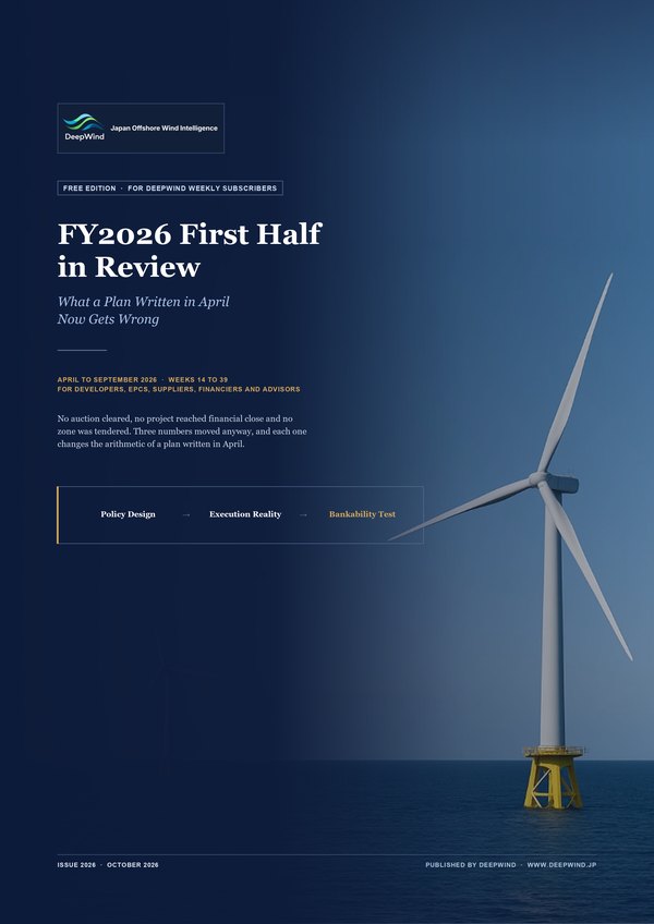 Free with sign-up: our FY2026 First Half in Review and The DeepWind Lens
Read across Japan, Europe, and Asia.